CARD/1 Software Test With Sentinel SuperPro Dongle
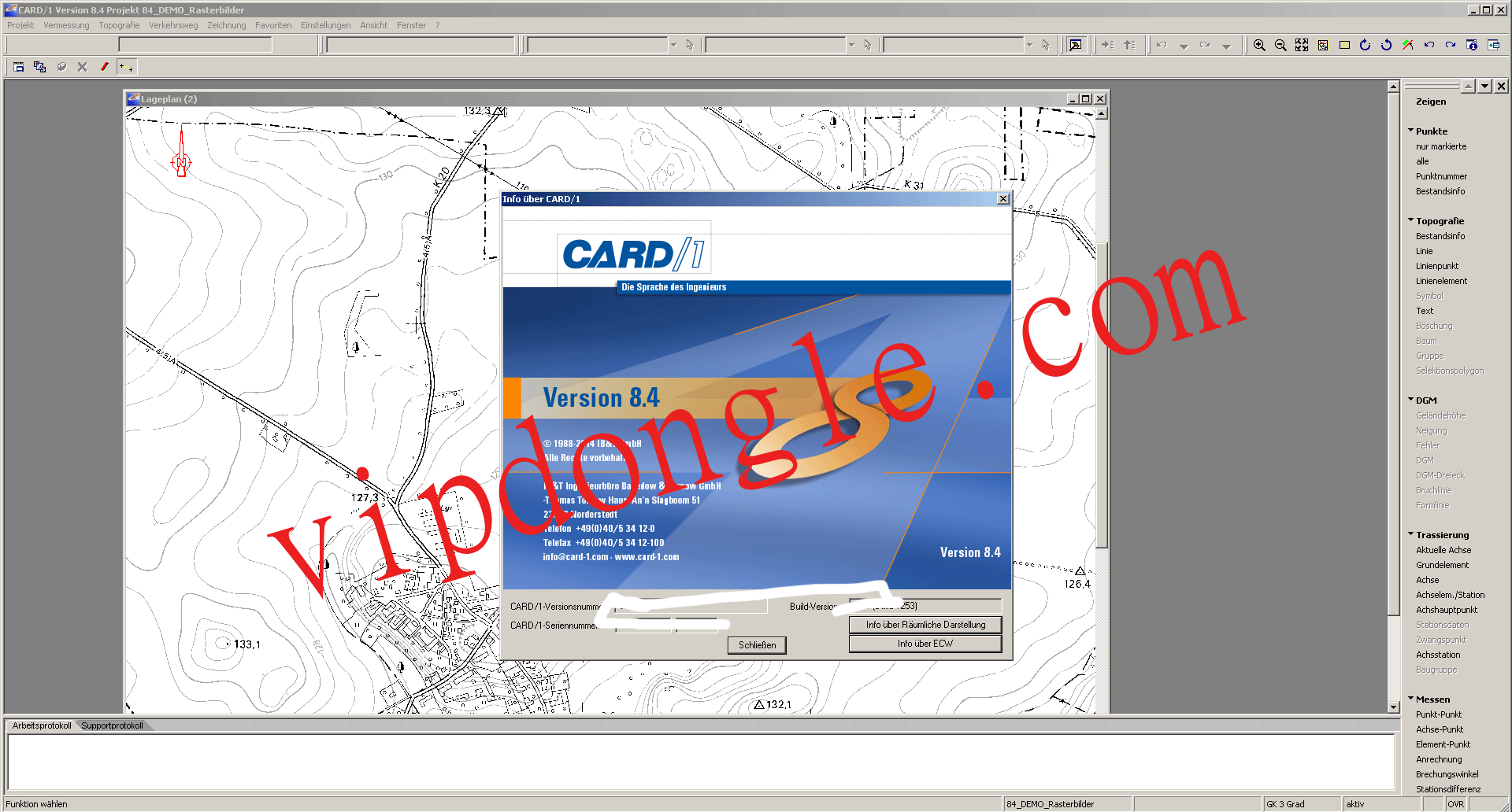
CARD/1 Software About
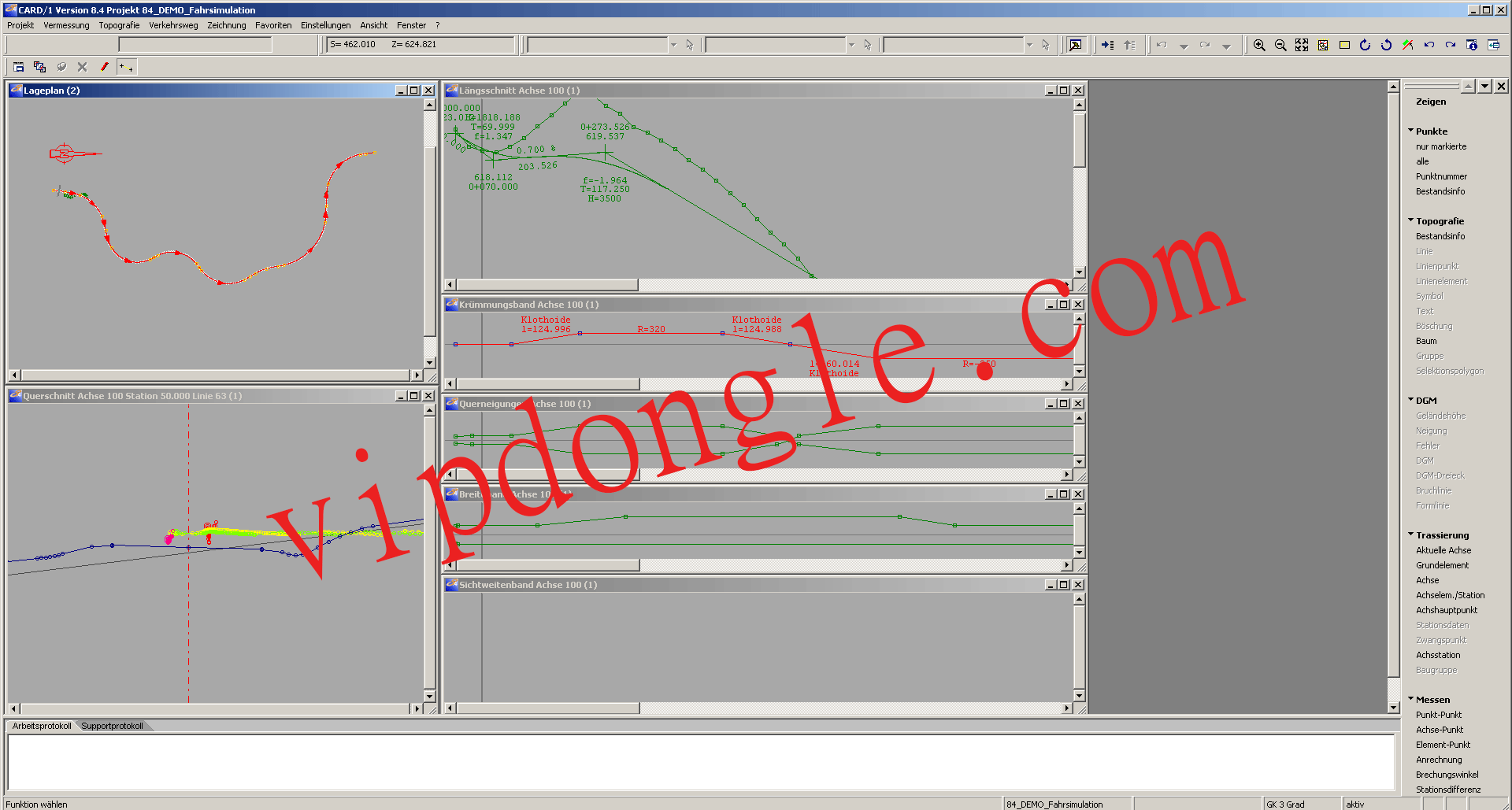
The professional CAD software card_1 is the industry solution for measuring, planning, and building traffic routes. It enables you to precisely model and visualize infrastructure projects and supports BIM processes. In this way, you are always one step ahead of your competitors with your projects. Use card_1 for road, rail, and sewer planning, surveying, and construction accounting.
With the format of the info sessions, we have set ourselves the goal of offering you exciting specialist lectures with a high degree of practical relevance throughout the year. On October 13th, our partner Schüßler-Plan presented various solutions for BIM-compliant work in card_1.
The focus of the specialist lecture was the production of 3D structures using practical examples. The implementation of the attribution and the correct procedure for creating 2D plans were also discussed in more detail.
The lecture was rounded off with a brief insight into the status quo of the new road design in card_1 version 10.
CARD/1 Software
Measurement
Regardless of whether it is network measurement, inventory, staking out, cadastre, or monitoring measurement, regardless of whether using a total station, GNSS, or laser scanner – with card_1 you can solve your surveying tasks safely and quickly, in the field as well as in the office. From the measurement in the field to the ready-to-submit plan, card_1 ensures smooth project work.
Construction billing
For the construction accounting of civil engineering projects, card_1 offers you professional tools that make it easy for you to determine your quantities.
You can create digital terrain models quickly and easily with cards. Numerous construction and evaluation methods help you to control your mass calculation. For billing according to Elling or from boundary lines, you can create your cross-sections efficiently and easily with the card profile development. Full Download.