Citilabs CUBE 6 Test with Deskey DK3 Dongle Clone
Predictive Modeling And Simulation Of Transportation
Develop and apply predictive multimodal transportation models, as part of a city’s overall digital twin, to simulate how changes in infrastructure, operations, technology, and demographics will impact movement and accessibility of a given area.
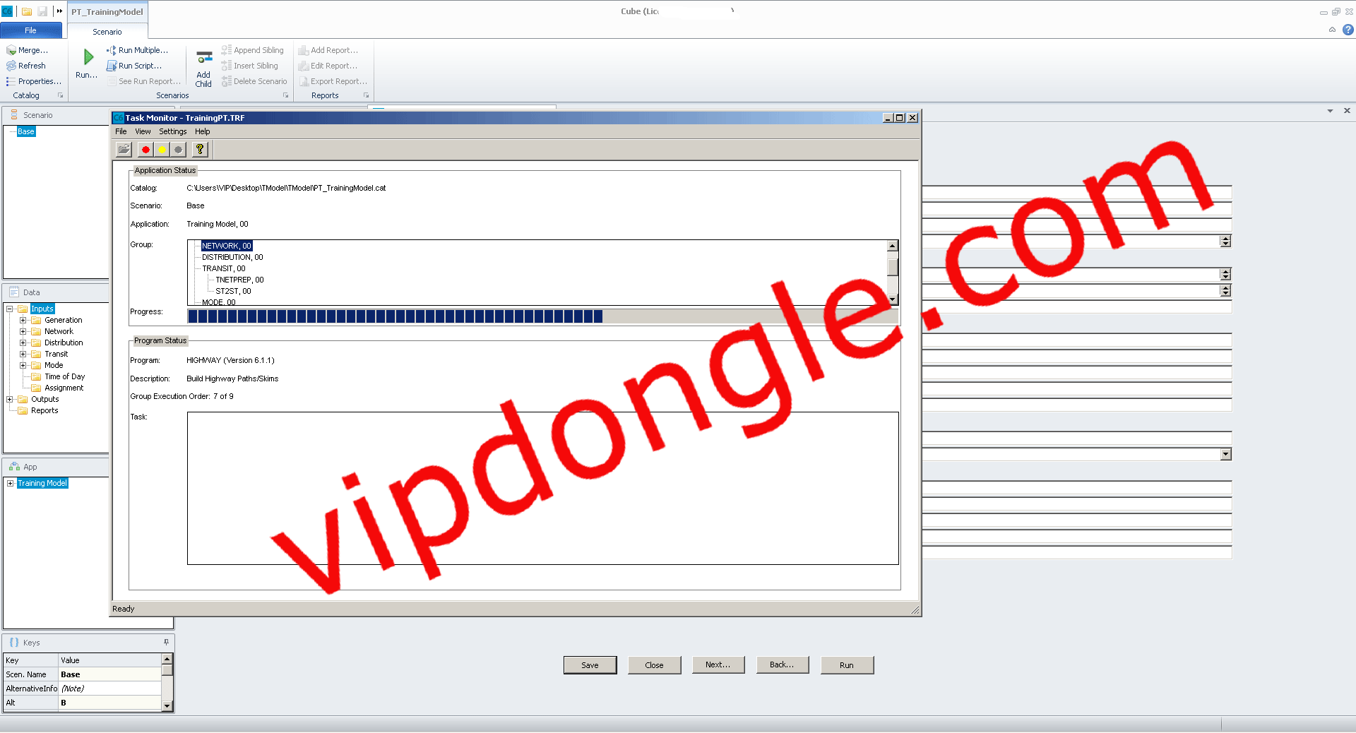
What is Citilabs CUBE 6 ?
CUBE is a flexible and efficient modeling software to analyze the effects of new projects and policies on a city’s transportation network, land use, and its population. CUBE is a desktop interface to link the model, the data, and the Geographic Information System (GIS) in a single click, making the development and application of your models easy to use.
Make Informed Decisions
- Easily visualize, test, and compare multiple scenarios in one application.
- Advise on the suitability of planning and design decisions to support business cases.
- Uncover hidden consequences before going ahead with investment decisions.
Accelerate Project Delivery
- Use simple flow charts to group processes and quickly complete tasks.
- Access to libraries of functions to save time when developing models.
- Flexible integration with third-party tools, including Python.
One system. One team
- One interface for land use and transport to support seamless communication and data sharing
- Reduce rework, and opportunity for errors, and streamline processes with powerful spatial technology
CUBE DELIVERS A TRUE MULTIMODAL APPROACH
CUBE supports any mode of transport, delivering a true, multimodal approach with feedback interactions between different modes, such as pedestrians, bikes, cars, freight, buses, bus rapid transit, rail, air, and water.
At the macroscopic level, CUBE is used for strategic and multimodal planning, including studying major roadway networks and public transport systems with a great level of detail.
These macroscopic models treat the entire volume of traffic traveling between an origin and destination as a single unit to evaluate the lowest-cost path for the aggregated traffic volume and compute congestion effects on a strategic scale, using volume-capacity ratios and estimating resulting speeds.