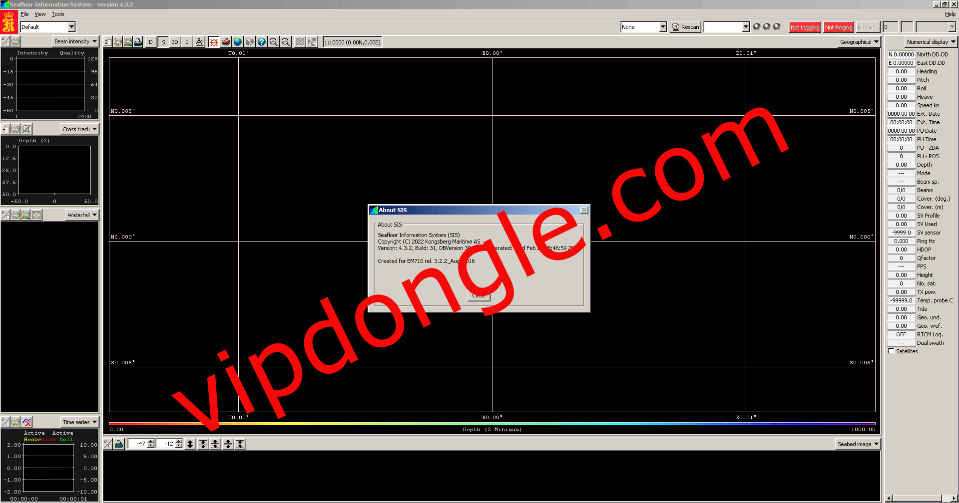
Seafloor Information System (SIS 5) Test with Rockey Dongle
Seafloor Information System Revolutionizing Marine Surveying
Introduction
The exploration and understanding of the seafloor are critical for various fields, including marine geology, oceanography, and underwater construction. The Seafloor Information System (SIS), developed by Kongsberg Maritime, is a cutting-edge tool that enhances the capabilities of marine surveying. This article delves into the features, benefits, and impact of the SIS on seafloor mapping and marine research.
Overview of the Seafloor Information System
The Seafloor Information System (SIS) is an advanced software platform designed to integrate with Kongsberg’s multibeam echo sounders and other underwater acoustic systems. It facilitates the acquisition, processing, and visualization of high-resolution seafloor data, enabling accurate and detailed mapping of underwater environments.
Key Features
- High-Resolution Mapping: SIS utilizes advanced multibeam echo sounder technology to capture high-resolution images of the seafloor. This capability is essential for detailed bathymetric mapping, identifying underwater features, and conducting geological surveys.
- Real-Time Data Processing: The software offers real-time data processing and visualization, allowing operators to view and analyze seafloor data as it is collected. This feature enhances situational awareness and enables immediate decision-making during survey operations.
- Integration with Multiple Sensors: SIS is designed to integrate seamlessly with a range of sensors, including single-beam echo sounders, side-scan sonars, and sub-bottom profilers. This versatility allows for comprehensive data collection and multi-faceted analysis of underwater environments.
- User-Friendly Interface: The software features an intuitive and user-friendly interface, making it accessible to both experienced operators and newcomers. The interface includes customizable displays, easy-to-use tools, and detailed help documentation.
- Advanced Data Management: SIS provides robust data management capabilities, including the storage, retrieval, and export of survey data. Users can efficiently organize and access large datasets, ensuring the integrity and availability of critical information.
Benefits
- Enhanced Survey Accuracy: The high-resolution mapping and real-time processing capabilities of SIS significantly improve the accuracy of marine surveys. This leads to more precise bathymetric maps and better-informed decision-making.
- Increased Efficiency: By integrating multiple sensors and providing real-time data visualization, SIS streamlines survey operations. This efficiency reduces the time and resources required for data collection and processing.
- Comprehensive Data Collection: SIS’s ability to integrate with various sensors enables comprehensive data collection, covering multiple aspects of the seafloor environment. This holistic approach provides a more complete understanding of underwater landscapes.
- Cost-Effective Operations: The efficiency and accuracy of SIS reduce the need for repeat surveys and minimize operational costs. This cost-effectiveness is particularly beneficial for large-scale and long-term marine research projects.
Impact on Marine Research and Industry
The Seafloor Information System has had a profound impact on marine research and industry. In scientific research, SIS enhances the ability to study underwater geology, marine habitats, and oceanographic processes. The detailed and accurate data collected using SIS supports a wide range of studies, from climate change research to biodiversity assessments.
In the commercial sector, SIS is invaluable for offshore construction, underwater inspections, and resource exploration. The high-resolution mapping and real-time capabilities facilitate safe and efficient operations, whether laying submarine cables, inspecting pipelines, or exploring mineral deposits.
Conclusion
The Seafloor Information System (SIS) by Kongsberg Maritime is a transformative tool in the field of marine surveying.
Its advanced features, including high-resolution mapping, real-time processing, and multi-sensor integration, make it an indispensable asset for both scientific research and commercial applications.
By enhancing accuracy, efficiency, and cost-effectiveness, SIS is revolutionizing our understanding and utilization of the seafloor, paving the way for new discoveries and advancements in marine science and industry.